we want to help you become a guardian of the water

100% of your money goes directly to protecting our coastal waters

Nicoya Peninsula Waterkeeper is a member of the Waterkeeper Alliance ~ waterkeeper.org, a global network of more than 300 Waterkeeper Organizations dedicated to cleaning up rivers, lakes and coasts through grassroots action. The vision of the Waterkeeper Movement is for swimmable, drinkable, fishable waterways worldwide. The guiding principle of Waterkeepers is that without water, there can be no life, and without clean water, there can be no healthy life.
Water is at the core of today's most pressing issues—security and scarcity, energy and climate change, the cause and spread of infectious disease. Communities are looking for ways to protect our right to clean water, as the quality and quantity of water resources decline around the world.
Coastal and marine water resources in the southern end of the Peninsula face threats which Nicoya Peninsula Waterkeeper addresses through research, field work, education, and advocacy.
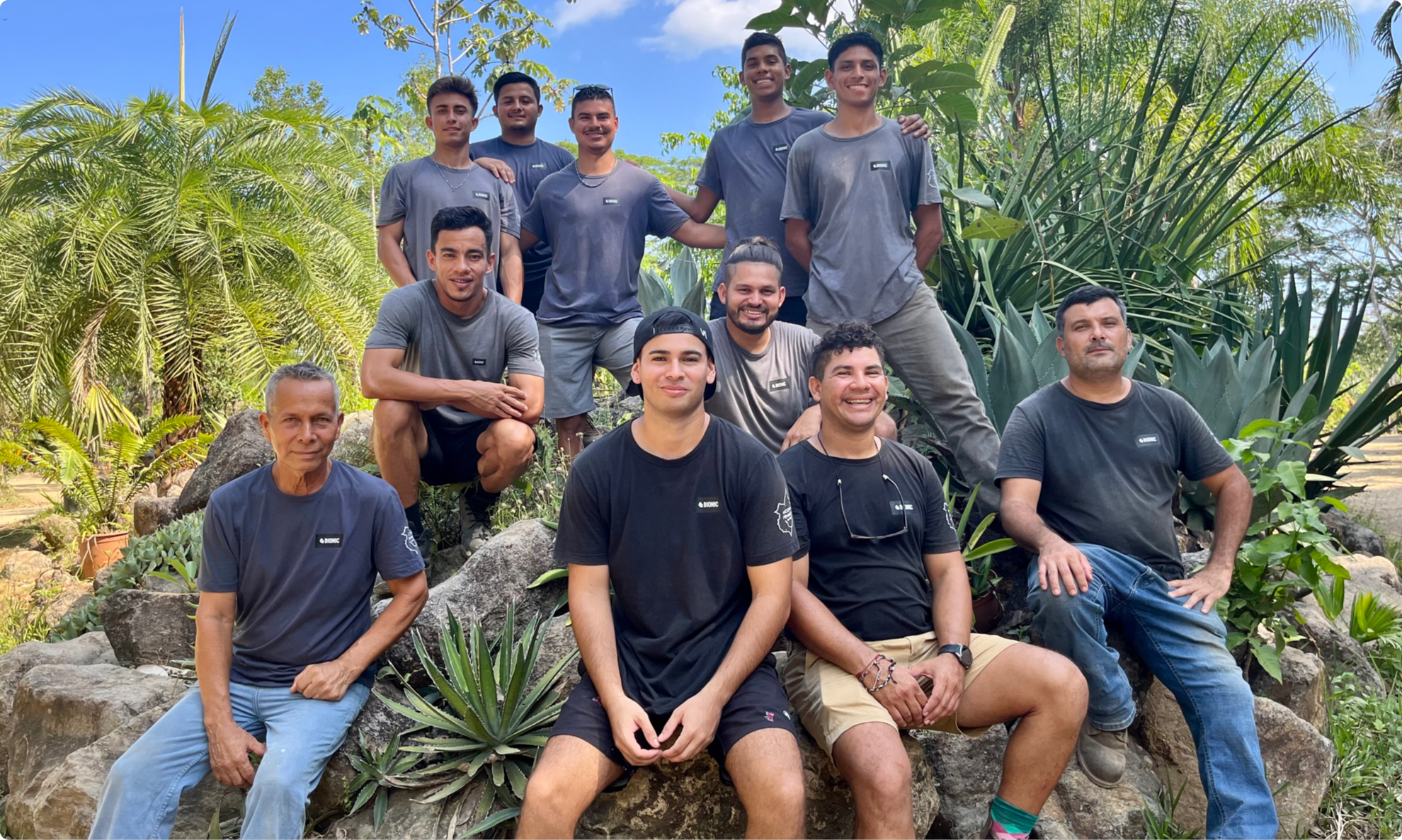
meet our team
recycling center staff


where we work

area description
There is one main river in the area, the Ario, as well as numerous streams and seasonal waterways.
The Ario joins the Bongo river approximately 1.2km before flowing into the Pacific Ocean. The Ario River, born inland in the northern most part of the Cóbano District, has been identified by GRUAS II (Proposed Zoning for Biodiversity Conservation in Costa Rica) as one of the major gaps in ecosystem representation and has proposed this watershed as a protected area of 10.023,23 ha.
higher ario watershed
The Higher Ario Watershed is characterized by broken terrain part of the central peninsular mountain chain which currently forms part of an important regional biological corridor. The grazing pastures give way to less altered environments such as gallery forests. A more thorough recognition of this area needs to be done in order to assess its main problems/opportunities comprising the communities that have a strong relation with the river.
The Lower Ario Watershed comprises tributaries (Caño Seco, Ceritral, Negro and Seco rivers) as well as the surrounding land from Cerro Villalta downwards. The lower watershed of the Ario is a mixture of riparian areas, gallery forests, agricultural land, pastures for cattle grazing and small rural towns. Near the coast, approximately 1.2 km inland, Ario joins with the Bongo River forming an estuary of environmental relevance currently protected through the Caletas Ario National Wildlife Refuge. Artisanal fishing and recreational activities such as bathing and camping also occur along this river.
caletas-ario national wildlife refuge
The Caletas-Ario National Wildlife Refuge is located along the coast of Ario and Caletas, with a total of 9.36km of coast. The Refuge’s total area is 20.179 hectares, of which 332 ha. terrestrial and 19.846 ha. marine. This Refuge includes areas such as mangroves, marshes, rivers, estuaries, marine rocky reefs, and beaches that serve as nesting grounds for 4 different species of marine turtles. The Caletas wetland is an area that has been severely affected by the creation of illegal rice fields, causing great environmental damage. Regrettably, this wetland received the 2010 Grey Globe Award, given by the World Wetland Network for inadequate management of wetlands.
bajos de ario
The Bajos de Ario community is located just before the junction of the Ario and Bongo and in the outskirts of the Caletas-Ario National Wildlife Refuge. The people of this community work mainly in the cattle and agricultural sectors with a minority traveling to the neighboring tourism communities to work. The lack of job availability in the community is forcing the locals to move elsewhere. Bajos de Ario relies on private water wells for their water supply.
bello horizonte
Bello Horizonte is a small town 2kms inland from Manzanillo. The area is home to many locals whose primary source of employment is tourism and construction in the neighboring towns of Hermosa and Santa Teresa. The majority of the area is owned primarily by local Costarican families in small cattle farms. Many of these farms are slowly being broken down into smaller parcels and sold off to either foreigners or to Costaricans from other areas of the country.
manzanillo, hermosa, santa teresa, carmen and mal país
Manzanillo, Hermosa, Santa Teresa, Carmen and Mal País communities are very renowned touristic destinations in Costa Rica. Having a very distinct high and low tourism seasons, the population of these communities doubles at the peak of the high season (December through April). The majority of the accommodations are small hotels or bed and breakfasts that cater all types of tourism, from adventure, sports, surf and environmental-driven tourism to leisure, relaxation and yoga. There are a few high-end resorts in the area which maintain a small number of rooms.
The maritime-terrestrial zones in these communities are managed as state concessions and are controlled by a land use regulation plan. Land use outside the maritime-terrestrial zones is not yet regulated.
cabo blanco absolute nature reserve
The Cabo Blanco Absolute Nature Reserve was Costa Rica’s first protected national park and was the first conservation area with a management category and that included a marine component in all of the Central American Region. This Natural Reserve serves as a shelter for marine flora and fauna and its surrounding unprotected waters have seen an increase of biodiversity that has benefitted the marine health as well as the income for small artisanal fishers of Cabuya and Mal País.


